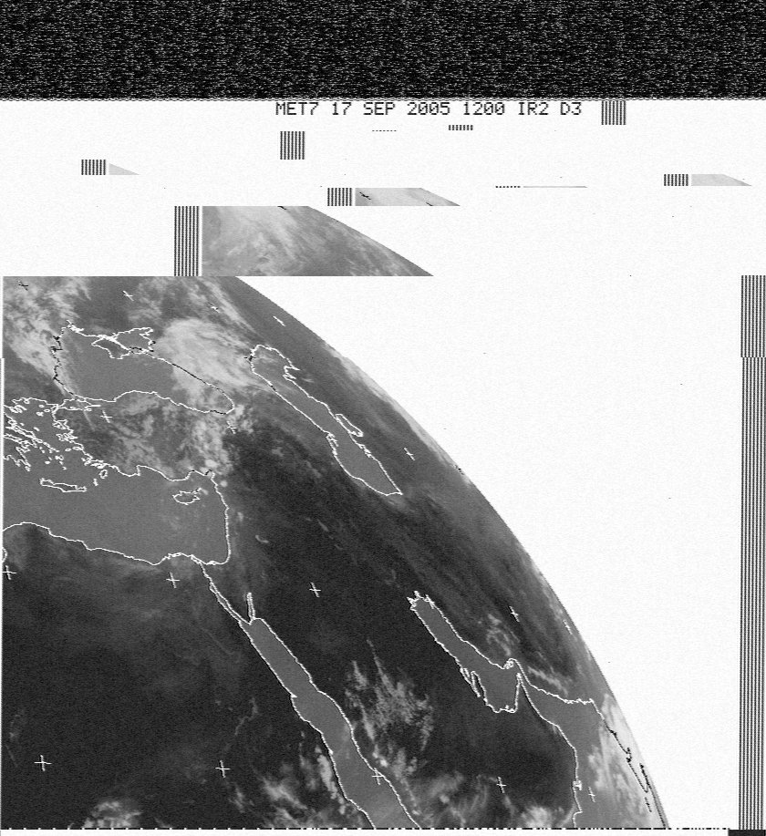
2005-09-17 12:14 UTC
2005-09-17 12:05 UTC
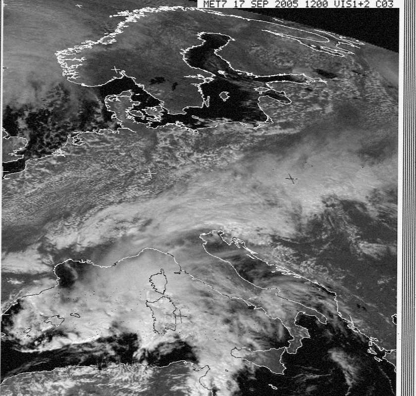
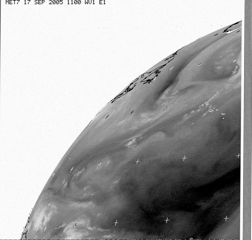
2005-09-17 11:58 UTC
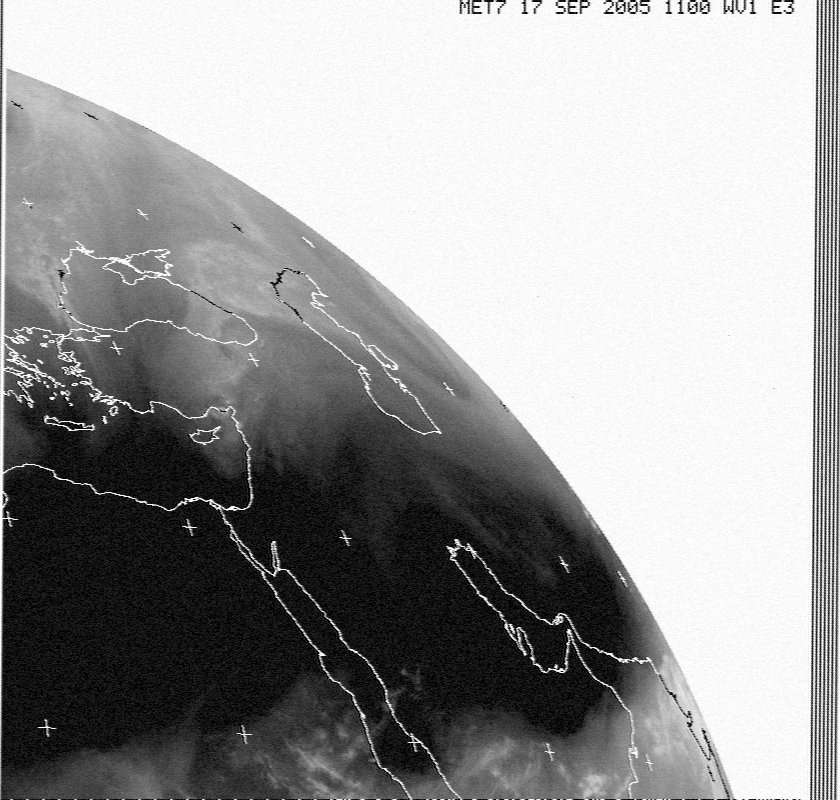
2005-09-17 11:58 UTC
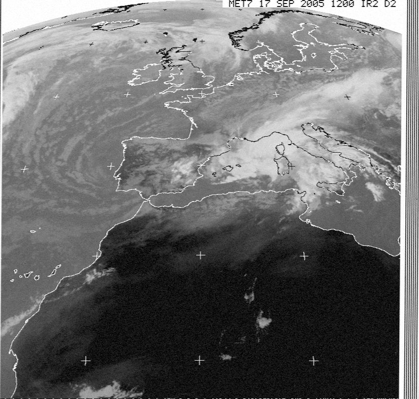
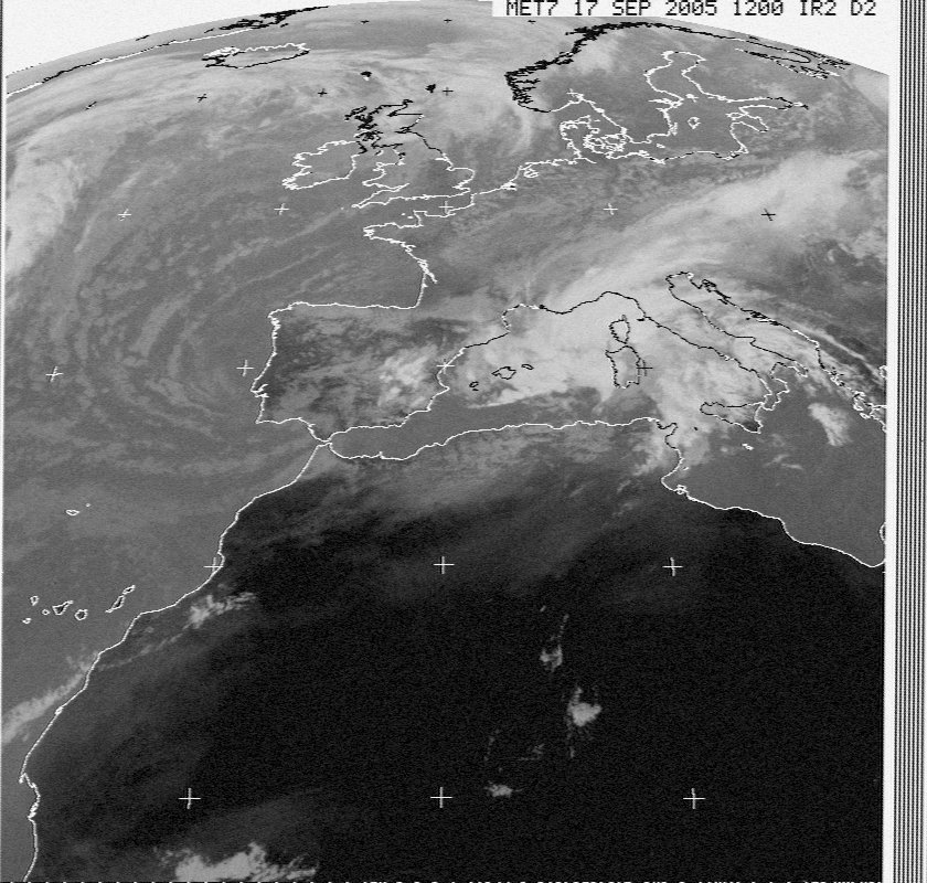
2005-09-17 11:49 UTC
2005-09-17 11:41 UTC
Click on any image below for a full sized image.
|
Meteosat 2005-09-17 12:14 UTC
|
Meteosat 2005-09-17 12:05 UTC
|
|
Meteosat 2005-09-17 11:58 UTC
|
Meteosat 2005-09-17 11:58 UTC
|
|
Meteosat 2005-09-17 11:49 UTC
|
Meteosat 2005-09-17 11:41 UTC
|
Table of Next Scheduled Satellite Passes over
| Satellite | Start of Pass | Time Available | Maximum Elevation | Frequency | ||
| name | UTC | local time* | UTC | local time* | degrees (east or west) | MHz |
| NOAA 17 | 17 Sep 12:23 | 17 Sep 14:23 | 17 Sep 12:35 | 17 Sep 14:35 | 25° W | 137.62 |
| NOAA 18 | 17 Sep 13:04 | 17 Sep 15:04 | 17 Sep 13:18 | 17 Sep 15:18 | 90° W | 137.9125 |
| NOAA 18 | 17 Sep 14:47 | 17 Sep 16:47 | 17 Sep 14:58 | 17 Sep 16:58 | 17° W | 137.9125 |
| NOAA 12 | 17 Sep 15:05 | 17 Sep 17:05 | 17 Sep 15:18 | 17 Sep 17:18 | 34° E | 137.50 |
| NOAA 15 | 17 Sep 15:39 | 17 Sep 17:39 | 17 Sep 15:50 | 17 Sep 17:50 | 21° E | 137.50 |
| NOAA 12 | 17 Sep 16:45 | 17 Sep 18:45 | 17 Sep 16:58 | 17 Sep 18:58 | 45° W | 137.50 |